Around The Kapaau Area
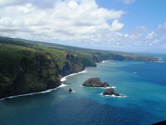
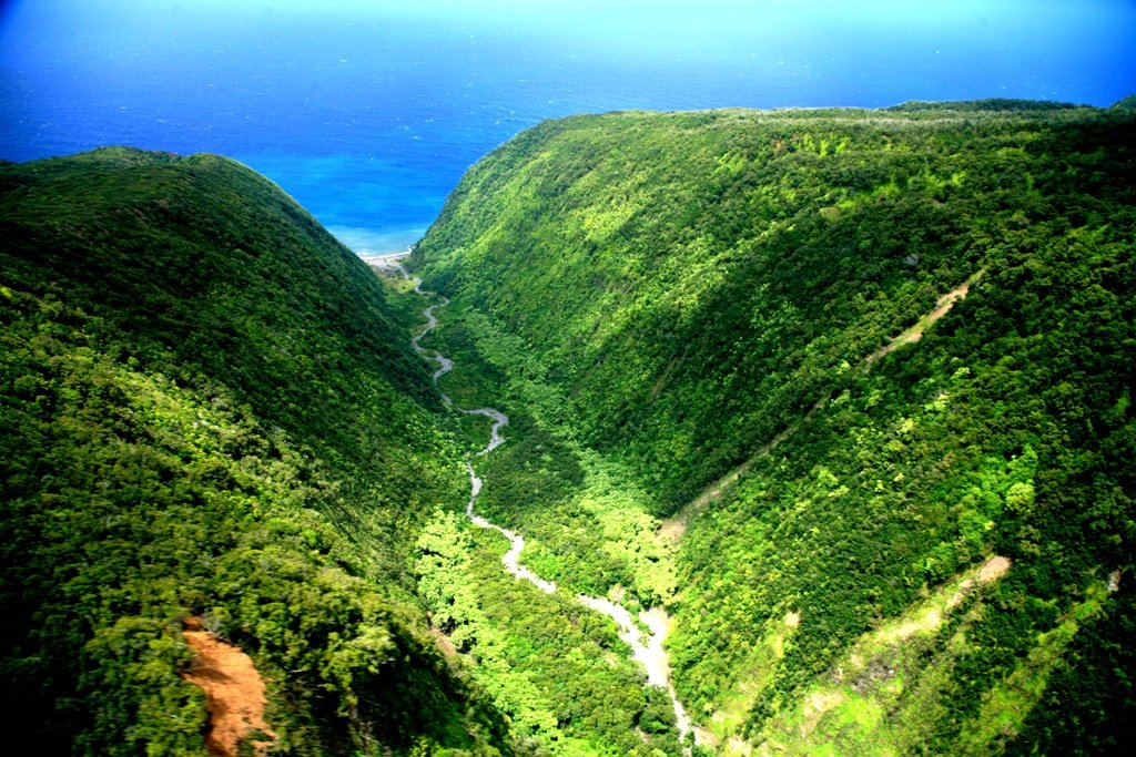
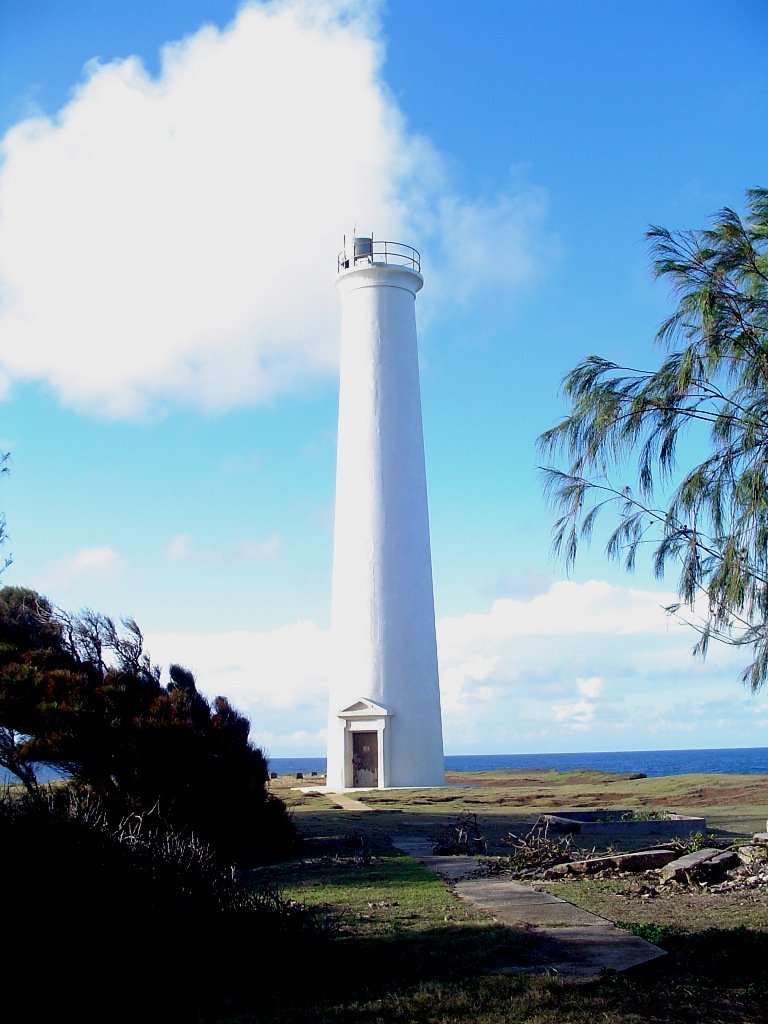
Kohala Lighthouse

Pololu

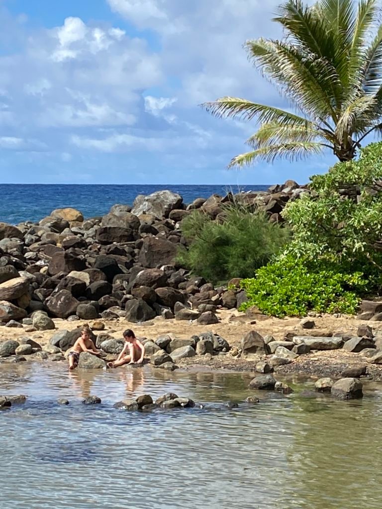
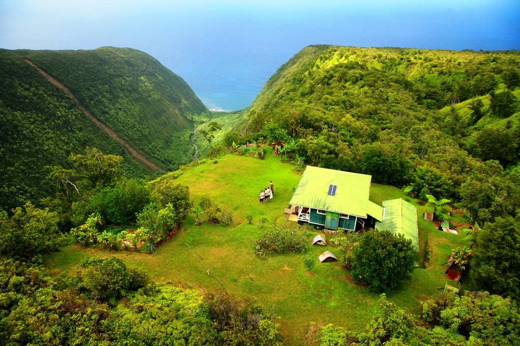
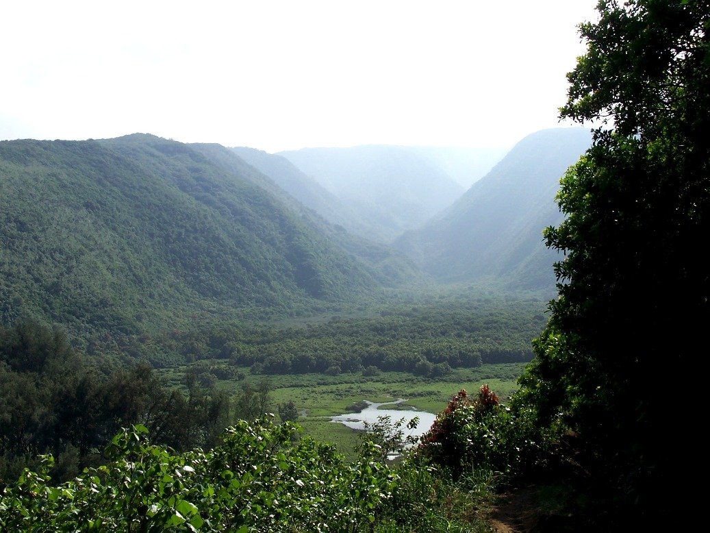
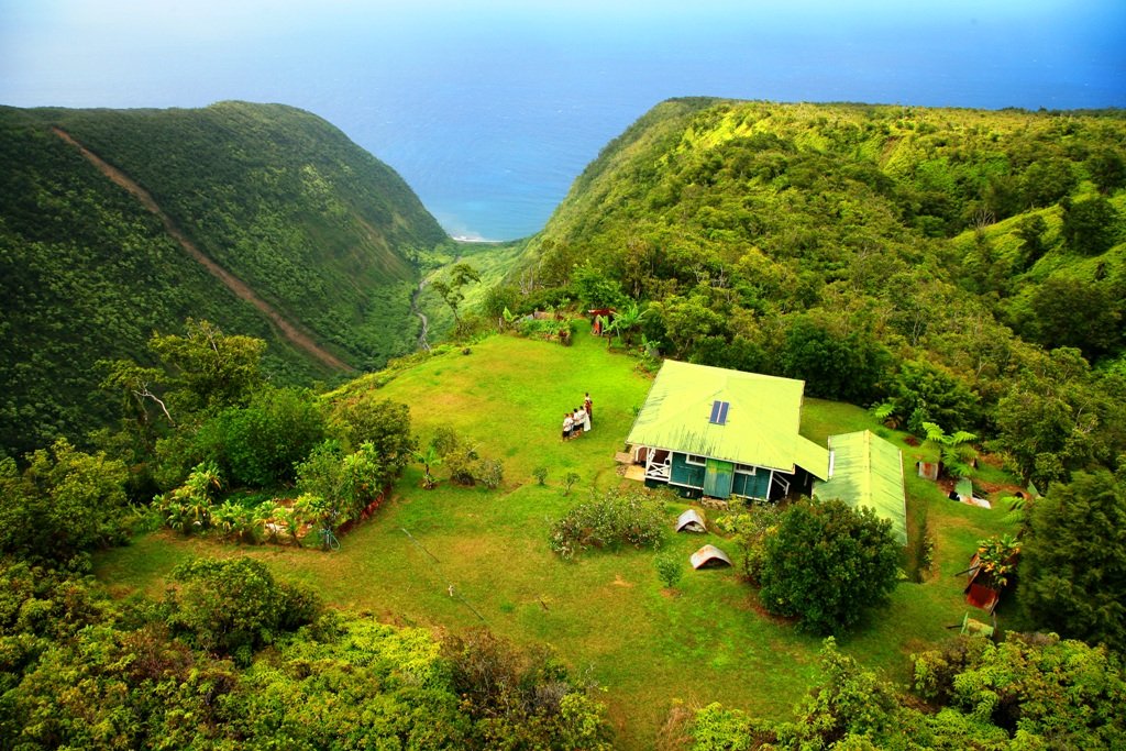
Pololu Valley
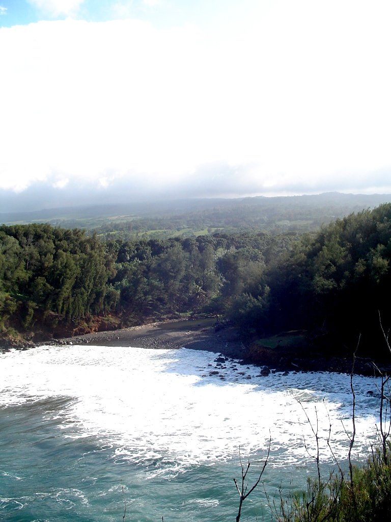
Kapanaia Beach
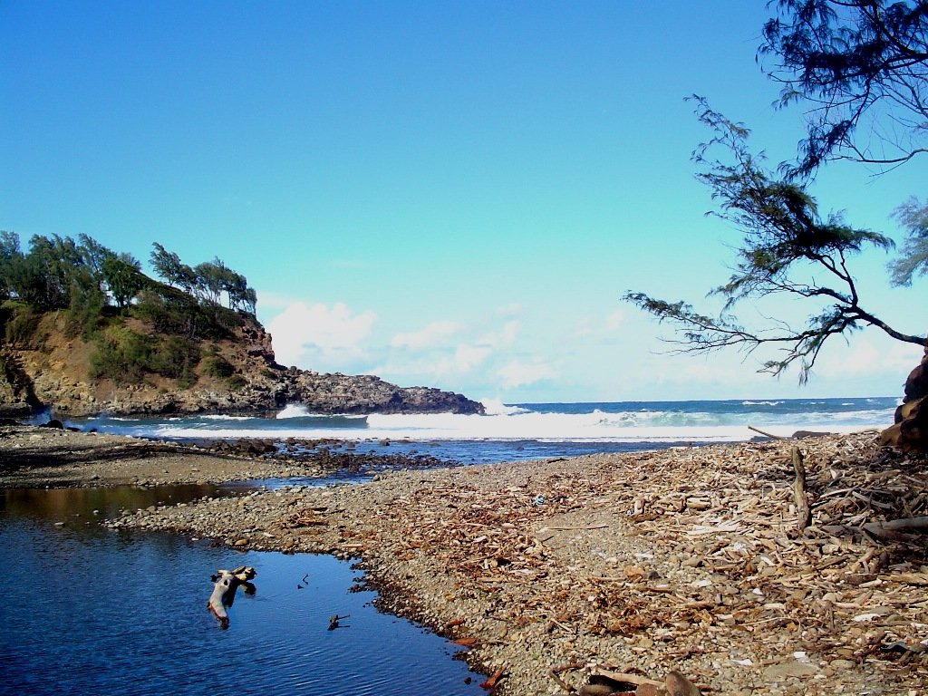
Kapanaia Beach

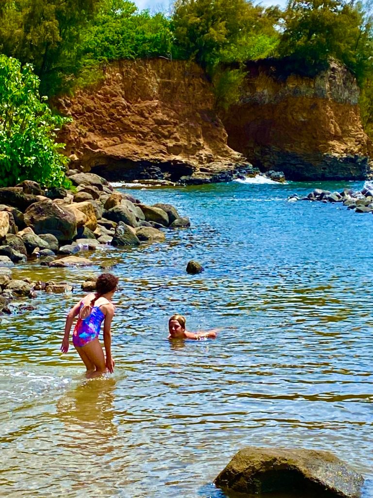
KapanaiaBeach
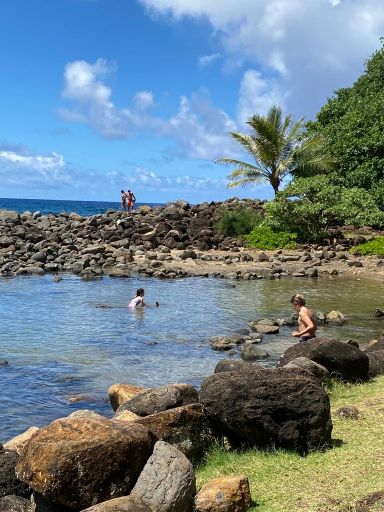
Kokea Beach
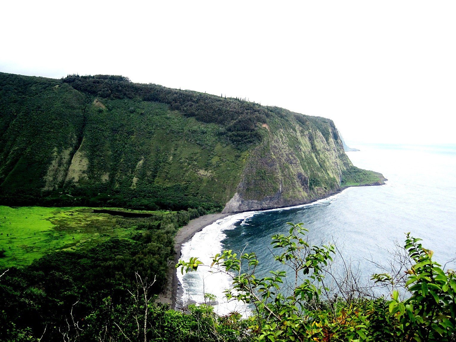

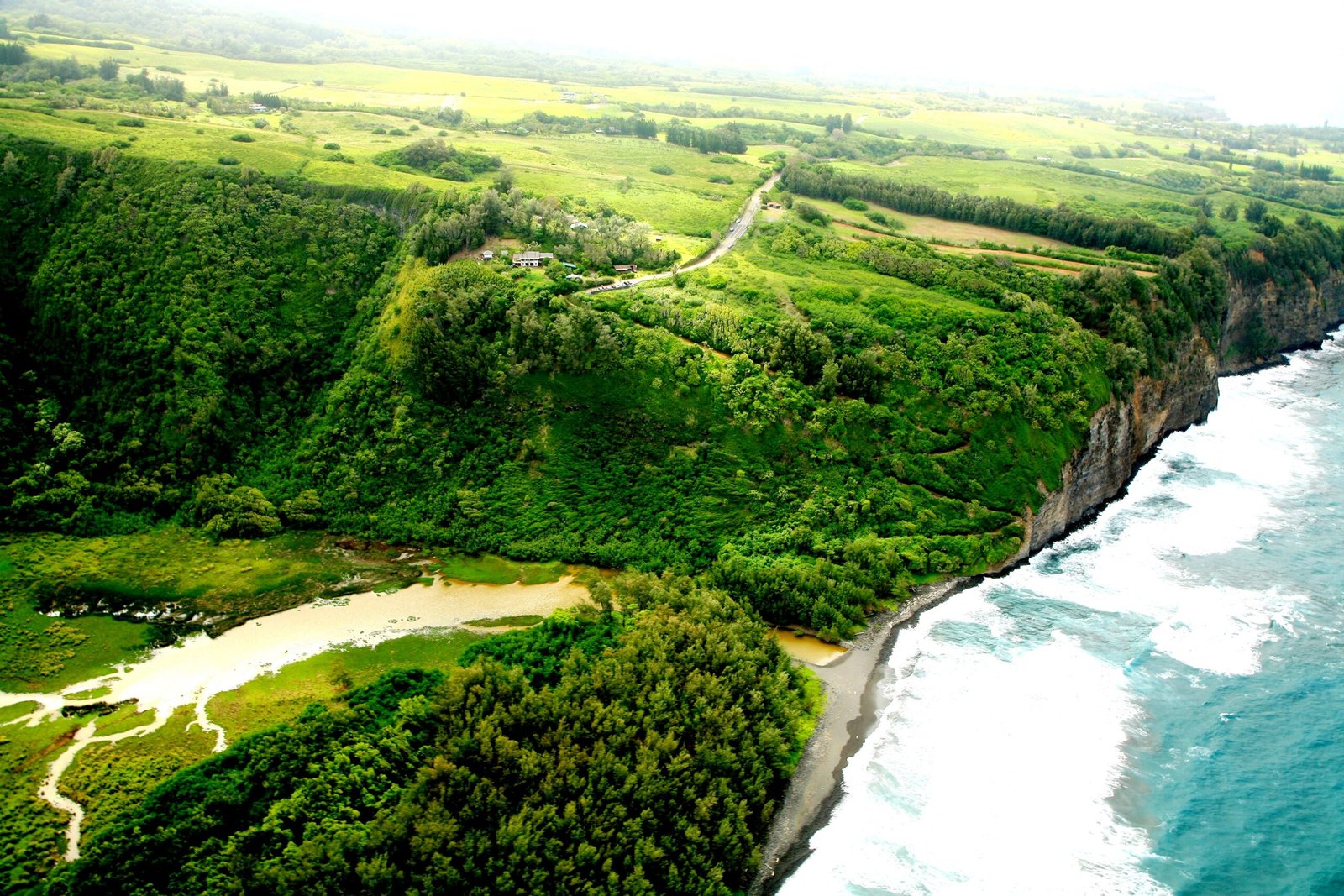
PololuValley
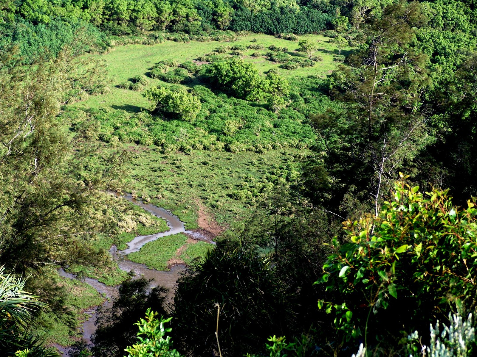
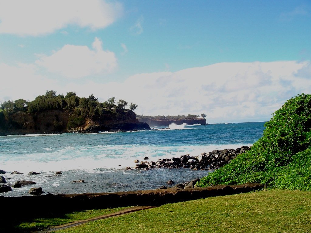
Keokea Beach
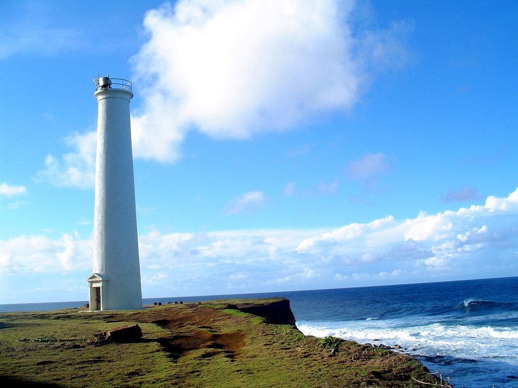
Kohala Lighthouse


Pololu Valley
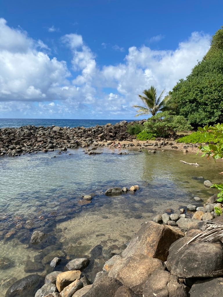
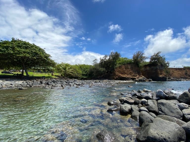
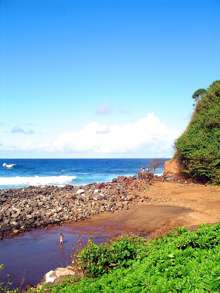

North kohala, The valleys
Just north of Kohala’s swampy summit, a small ridge separates the streams by only a quarter of a mile. The ridge dictates whether the falling rain will go southeast and plunge into Waipi`o Valley or northwest, down into Honokane Valley. The sacred area owes its peculiarity to the work of Madam Pele.
The ridge between the twin streams is part of the northwest- and southeast-trending rift zones of Kohala Volcano. When Kohala was active hundreds of thousands of years ago, vertical sheets of magma, known as dikes, made their way up from the magma reservoir and intruded into the rift zones (just as a dike has intruded beneath Pu`u `O`o and feeds the eruption on Kīlauea’s East Rift Zone). As these dikes force their way up, they pry the rift zone apart and often cause fractures and faults to form parallel to the rift zone.
When Kohala was active, the extension caused by the dikes produced a series of faults along the rift zone, forming horsts and grabens. Here is a simple example of how these geologic features formed. If you took five hardcover books off the shelf, squeezed them together between your hands spine side up, and then slowly reduced your pressure, the books in the middle would drop down to form a trough, or graben, while the outer books would remain higher, representing horsts. The release of pressure would simulate the prying action generated by an intruding dike.
In the area north of Kohala’s summit, the horst and graben structure prevents rainwater on the surface from naturally flowing northeast, down the mountain slope. Instead, the grabens act as culverts, causing rainwater to flow laterally before it finds its way down to the ocean. One graben diverts rainwater southeast, to the back of Waipi`o, while the other diverts rainwater to the northwest, to the back of Honokane.
In addition to forming horsts and grabens, the Kohala dike complex plays another important role in the development of the Big Island’s large valleys – that of creating and maintaining a water table. Because Hawaii is made up of lava flows full of voids, vesicles, cracks, and lava tubes, the rock is very permeable and porous. Rainwater seeps easily into, and saturates, the rock, creating a large lens of fresh water beneath the island. In most places, the top of this water table is just a few feet above sea level.
Unlike porous lava flows, however, dikes cool underground into dense rock with few cracks and vesicles. The dikes act as impermeable walls through which groundwater cannot flow. Rainwater seeping into a rift zone gets trapped in these dike “reservoirs,” well above sea level. The groundwater is confined to flow along the dikes, until it finds a route where it can escape its captor.
In Kohala, just as the grabens divert surface water, the numerous dikes near the summit inhibit groundwater from seeping downslope to the northeast, where it naturally wants to go. Rather, the Kohala dike complex impounds the water and guides it northwest or southeast, down the axis of the rift zones, before the water finds a way out.
Therefore, most of North Kohala’s groundwater ends up in either the Waipi`o/Waimanu drainage or in the Honokane/Pololu drainage. The enormous amount of water routed through these areas causes the valley walls to frequently collapse, accelerating valley development.
The numerous, shallow stream valleys between Waimanu and Honokane (Honokane Iki, `Awini, Honopue, Waikapu, `Apua, and Laupahoehoe), on the other hand, are deprived of groundwater by the orientation of the rift zone and its dikes. Meanwhile, the fault grabens starve the streams of rainwater from the summit; thus, the streams can do relatively little to carve the landscape. USGS.gov